Speaker 2025
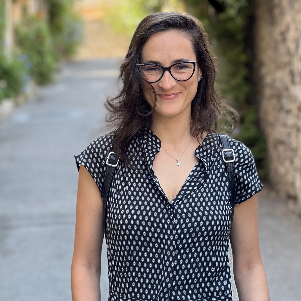
 Codrina maria Illie
Codrina maria Illie
Codrina Ilie is a technical geographer, an open source GIS/RS power user, actively working as a project officer to guide and support geospatial and Earth Observation data services development at
Terrasigna. In her 15 years of activity, Codrina has focused on using open source Geographic Information System (GIS) and Remote Sensing (RS) solutions for data management, processing and
visualization.
As an advocate for free and open source software for geospatial, since 2010 she has been a volunteer trainer in the Romanian geospatial community, geo-spatial.org. Since 2013, Codrina has been a Charter Member of the Open Source Geospatial Foundation (OSGeo) and today serves the community as an OSGeo Board of Directors elected member, within her third term.